We’ve selected six of the best El Chaltén hiking trails, showcasing the finest Andean vistas around Argentina’s trekking capital
Patagonia’s El Chaltén hiking trails should be on the bucket list of every serious hiker. The trekking capital of Argentina provides access to a network of well-maintained hiking routes with some of the most breathtaking alpine viewpoints on the continent.
The routes are rambling and chaotic at times (underestimate the ever-present winds at your peril), but the rewards are big. The imposing towers of Fitz Roy and Cerro Torre steal the show, but the magnificent UNESCO-listed Parque Nacional Los Glaciares has much to offer hikers of every ability.
Best hikes around El Chaltén
Most trails are well signposted, but before heading out it’s worth dropping by the visitor centre just a short walk from the town centre. Here, you can pick up a map, check on trail conditions, register for climbing or fishing permits and find out more about the other activities in the area.

With options to suit everyone, here are six outstanding El Chaltén hiking routes to choose from. If you’re really brave (or foolhardy), you can opt to complete them all.
1. Los Cóndores and Las Águilas viewpoints
Distance: 6km (3.5miles)
Duration: 1.5-2 hours
This is the shortest El Chaltén hiking trail with the most easily accessible miradors (viewpoints). The hike provides an excellent 360° view of the Adela, Torre and Fitz Roy massifs along with the greater Río de las Vueltas valley.

It’s not the most dramatic as you won’t get particularly close to any of the landmarks, but if you’re short on time and want to see as much as possible, then it’s ideal. The well-signed route begins at the visitor centre.
2. Laguna Capri
Distance: 12km (7.5miles)
Duration: 3-4 hours
This is an excellent and often over-looked El Chaltén hiking trail providing broad views of Laguna Capri, a glistening blue water lagoon, and its lakeside forest. You can also enjoy great views of 3,405m (11,200ft) Fitz Roy and its surrounding peaks.
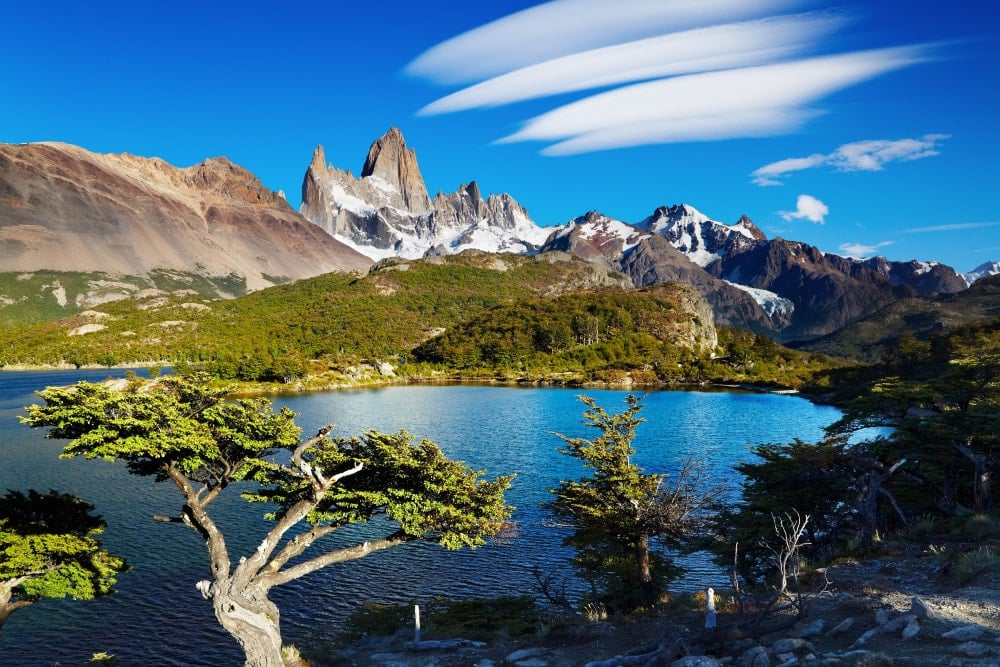
The trail starts at the northern end of town and soon arrives at a viewpoint facing north along the scenic Río de las Vueltas. The trail then turns westerly where you’ll find an excellent mirador facing the Fitz Roy massif.
3. Laguna Torre
Distance: 24km (15miles)
Duration: 6-7 hours
This is the classic El Chaltén hiking trail and also the most popular. If you can only do one hike here, do this one. There are two trailheads at El Chaltén, both of which begin with an hour’s uphill climb to Mirador Torre, the first vista west towards the icy spire of Cerro Torre at 3,128m (10,262ft).
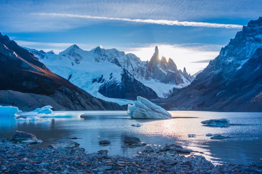
The trail continues along the Río Fitz Roy to the glacial lake of Laguna Torre. If it’s not too windy you can continue along the lake’s northern shore to reach Mirador Maestri with unrivalled views of the tower.
4. Laguna de los Tres
Distance: 24km (15miles)
Duration: 8-10 hours
This El Chaltén hiking trail offers the best views of Fitz Roy and the surrounding glaciers, but it’s also the hardest of the day hikes. Many choose to camp overnight at one of two campsites (Poincenot and Río Blanco) along the way, but it can be done in a day.
If doing so, rise early and get a head start. The trailhead begins with a climb from the end of Avenida San Martín and ends with the closest view of the towering Fitz Roy granite wall, its satellite peaks and the gleaming glacial lake of Laguna de los Tres.
Read our essential guide to the Fitz Roy day hike for more information.
5. Laguna de Los Tres and Piedra Del Fraile
Distance: 58km (36miles)
Duration: 3-5 days
This is an excellent trekking option for the more adventurous hiker, combining several sections of the various trails surrounding El Chaltén. Follow the route towards Laguna de los Tres as described above, either stopping overnight at Campground Poincenot and rising early for stunning views of Fitz Roy, or continuing to the campsite and refuge of Piedra del Fraile.
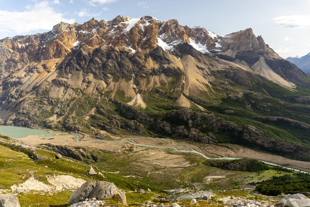
Either way, the next day is a challenging one up to the climbers’ camp of Piedra Negra. From here, hikers get to admire the impressive North Face of Fitz Roy. Piedra del Fraile can also be completed as a relatively easy 13km (8mile) day hike from Eléctrico Bridge on Provincial Route 41.
6. Paso del Vientos / Huemul Circuit
Distance: 65km (40miles)
Duration: 4-5 days
This is the hardest of the El Chaltén hiking trails and should only be attempted by experienced trekkers. Although only a few kilometres longer than the Piedra del Fraile route, the terrain is far more challenging and the risk of getting lost much higher. Many trekkers choose to join an organised trekking tour, which includes an optional walk out onto the Hielos Sur icecap.
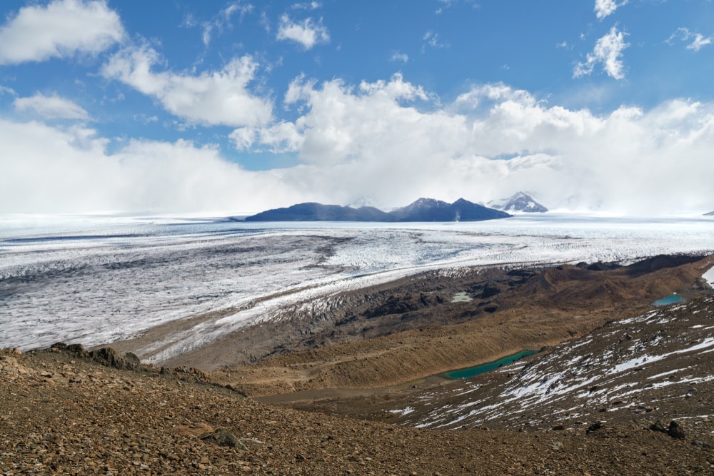
The trail begins at the visitor centre heading towards Rio Túnel. You can spend the night at the Laguna Toro campsite. Day two is spent steadily ascending to the white expanse of Hielos Sur where there is sheltered camping available beside Laguna Ferrari.
Day three contains moderate walking following cairns roughly north-west across the moraine before retracing your steps back to Laguna Ferrari. Day four is a cairned route heading south, close to the Chilean border before arriving at a basic campsite and refuge. The final day is a blister-inducing 25km slog back to El Chaltén.
the eSSENTIALS
What: Exploring the outstanding El Chaltén hiking trails of Argentine Patagonia.
Where: El Chaltén is a small but expanding town, well prepared for the annual influx of hikers, trekkers and climbers. There is a range of restaurants, cafés, hostels, lodges, bakeries and mini-markets spread throughout the town.
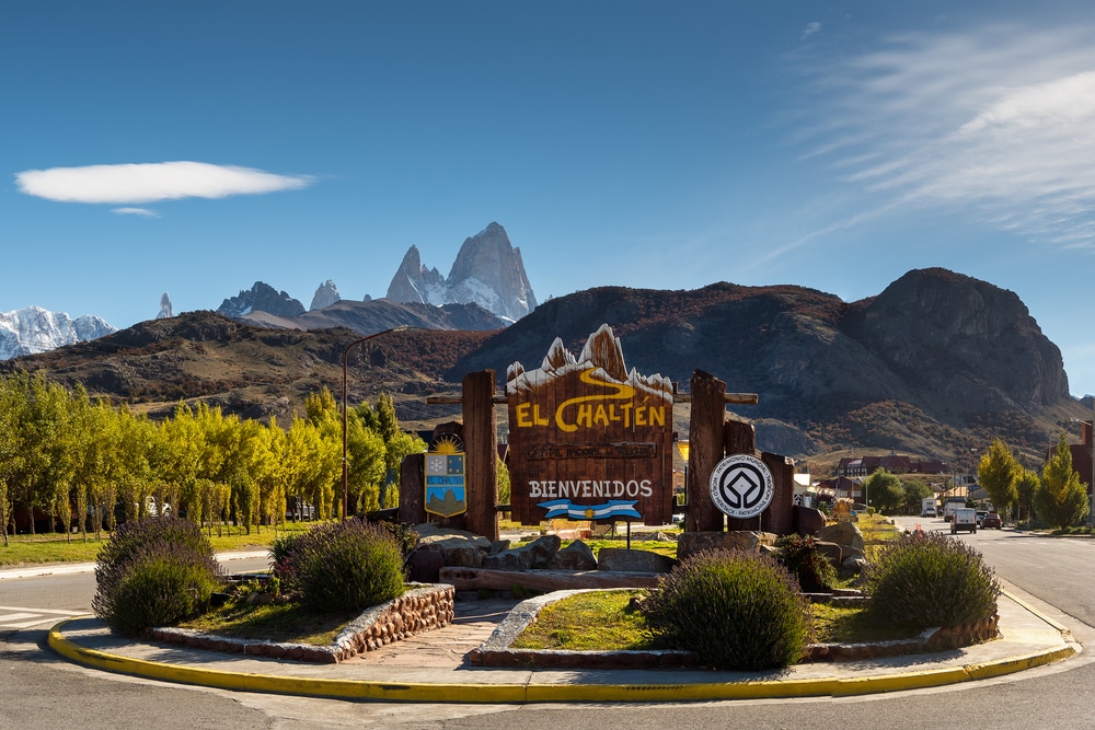
When we first visited, we stayed at the simple but comfortable El Alamo where breakfast and wifi is included. During our second visit, we didn’t stay in El Chaltén as there was absolutely no availability. Instead, we stayed at Hosteria Los Canelos in El Calafate, a three-hour drive away.
Pro tip: Book ahead! The below hotels are well reviewed on Booking.com.
High-end
Chalten Suites Hotel
Los Cerros del Chaltén Boutique Hotel
Chalten Camp – Glamping with a view (out of town)
Mid-range
Kau Si Aike
Apart Guillaumet
Budget
Rancho Grande
Newen Bed & Breakfast
When: The best time for hiking in El Chaltén is between November and March when the weather is at its most reliable. Regardless, the Patagonian climate is unpredictable at the best of times and the weather can change dramatically throughout the year with little warning. Pack the right outdoor clothing and footwear and be prepared for all eventualities.
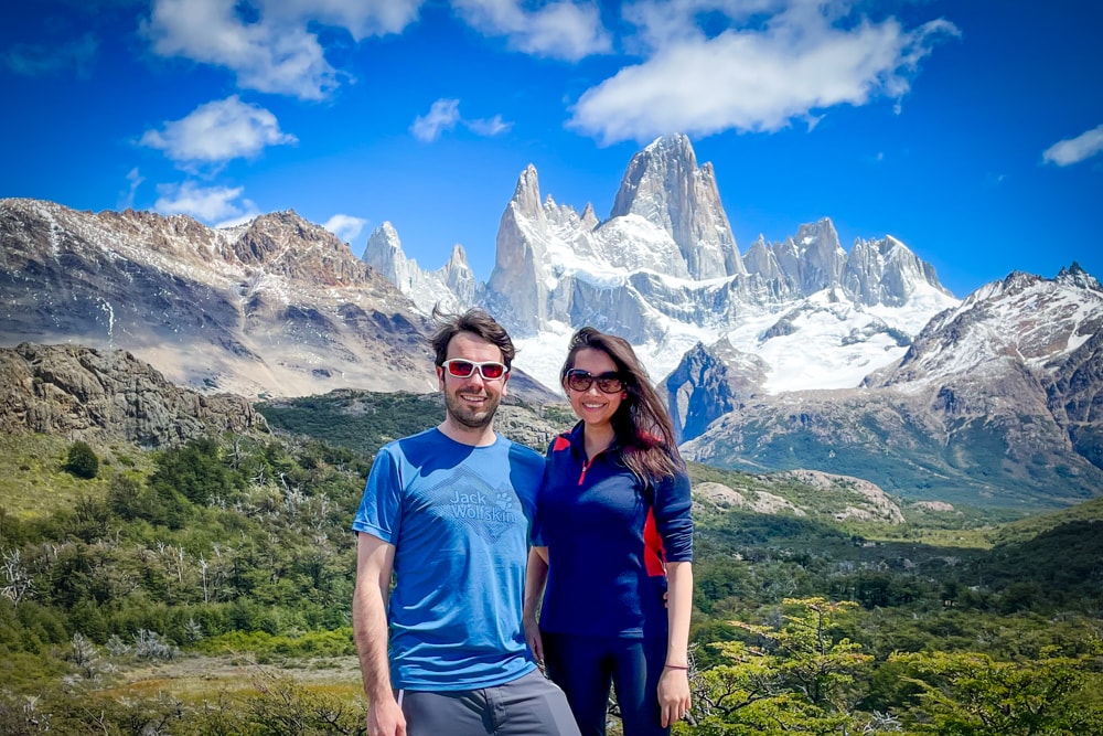
How: El Chaltén is located 215km (130mi) north of El Calafate. There is a daily bus service in both directions between El Calafate and El Chaltén running all year round. During the high season (November to March) a third service also runs.
Most travellers to El Chaltén come from El Calafate. The bus journey takes about three hours. You can book the public bus or a private transfer.
You can fly to El Calafate from Buenos Aires or Ushaia. Book via skyscanner.net for the best prices.
Enjoyed this post? pin it for later…
Beautifully written and full of wonderful descriptions and intriguing tales, In Patagonia is an account of Bruce Chatwin’s travels to a remote country in search of a strange beast and his encounters with the people whose fascinating stories delay him on the road.
Lead image: Gambarini Gianandrea/Shutterstock
Autor: Peter
Fuente de contenido